Mapping Task
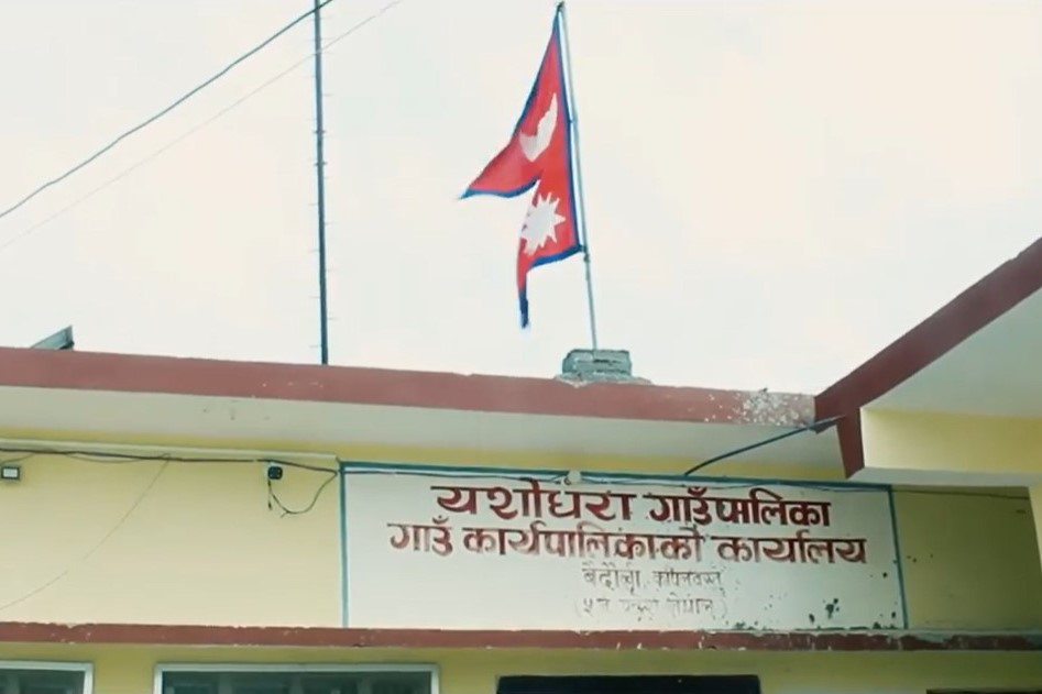
Mapping In Yashodhara Rural Municipality, Nepal

Introduction
Task Instructions
**Project Specific Mapping Notes**
# Imagery
Please use Maxar Premium Imagery. And PLEASE DO NOT MAKE ANY EDITS ON INTERNATIONAL BOUNDARY.
Mark your task only as Bad Imagery if it is either cloudy or if there is no high-resolution imagery available. Often on slower connections, it takes a moment for the imagery to start tiling in.
# Features to map:
Help us to trace the following features in the remote hills of western Nepal.
## Buildings
For Buildings, the shape is generally rectangular with a small size; they are found in clusters of repetitive rectangles close to each other and additionally noticing the shadows can provide information on its height and even help differ one house from another.“building=yes” tag is used for building features.
**Tips:**
For digitizing buildings in JOSM, the “building tool” plugin can be very helpful as it creates a perfect rectangle with automatic tags with the key-value pair `“building=yes”`.
Please note that most buildings in Nepal are rectangular in shape and what seems like circular huts could be a haystack.
## Waterways
Digitizing a river can be of two types. All rivers are represented with a single line in the center of the feature that is necessarily tagged `“waterway=river”`. And for a large river and water body, a polygon area is made which is tagged either `“natural=water”` or `“waterway=riverbank”`.
## Roadways
Roads can be easily identified in the imagery as they have a continuous linear shape. The following tags can be used for the road feature:
* `highway=trunk`: A major road connecting two or more cities, mostly national highways.
* `highway=primary`: A road corridor that carries a huge volume of traffic between arterial roads and has a high density of public transport services.
* `highway=secondary`: A collector road that carries a lower volume of traffic and has either no public transport service or a lower density of public transport service.
* `highway=tertiary`: A motorable road serving several villages that connects rural areas to cities.
* `highway=residential`: A road accessing or around residential areas.
* `highway=path`: A foot trail that connects two or more villages as well and paths inside the community that is accessed through the foot.
## Forest
Forests are generally large in size, irregular in shape, and coarse in texture. They can be easily identified from the images. The tags `“Natural= wood”` are commonly used for mapping the forest. The additional and more specific tags like `“wood=coniferous”`, `“wood=mixed”`, etc also can be used in absolute certainty.
Use `natural = tree` for a single tree, `natural = tree_row` for a row of trees, `natural = scrub` for uncultivated land covered with shrubs or bushes
**Tips:** The “Fast Draw”JOSM plugin can be used for mapping the forest.
## Bridge
`bridge=yes` and `layer=1`:
* A bridge is a structure built to span a physical obstacle, such as a body of water, valley, or road, without closing the way underneath [(OSM Wiki for Bridge)](https://wiki.openstreetmap.org/wiki/Key:bridge)
* `ford=yes` A ford is a small part of a highway where a waterway runs over it. [(OSM Wiki for Ford)](https://wiki.openstreetmap.org/wiki/Tag:ford%3Dyes)
## Reference:
Please refer to [this link](https://drive.google.com/drive/folders/1YGxx8kj_AibC2E7a67SoBLpjzFBlrFKw?usp=sharing) for detailed documentation on how to map.
HashTags:
#hotosm-project-13720 #youthmappers #digitalnepal #osmnepal #mapbuds
Please refer to [this link](https://wiki.openstreetmap.org/wiki/Humanitarian_OSM_Tags/HDM_preset) for a list of standard Humanitarian Tags in OSM
Please split the tasks if needed.
 MapBuds